| Phawngpui National Park | |
|---|---|
 | |
| Location | Mizoram, India |
| Nearest city | Aizawl |
| Coordinates | 22°40′N 93°03′E / 22.667°N 93.050°E |
| Area | 50 square kilometres (19 sq mi) |
| Established | 1992 |
| Visitors | 469 (in 2012-2013) |
| Governing body | Department of Environment and Forests, Government of Mizoram |
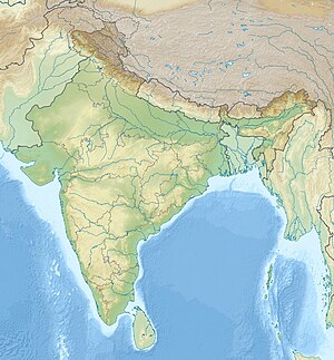
Phawngpui National Park or Phawngpui Blue Mountain National Park is one of the two national parks of India in Mizoram, the other and the larger being Murlen National Park. It is about 300 km from the main city Aizawl, located in the Lawngtlai district, towards the southeast of Mizoram and relatively close to Burma. It bears the name of the mountain Phawngpui, often called the Blue Mountain of Mizoram, which is the highest mountain peak in the state, reaching 2,157 m asl.[1] The national park covers the entire mountain along with the surrounding reserve forest.[2]
- ^ "Phawngpui". mizotourism.nic.in. MizoTourism. Archived from the original on 3 March 2013. Retrieved 26 June 2013.
- ^ SC Bhatt; GK Bhargava, eds. (2006). Land and People of Indian States and Union Territories: Mizoram. Vol. 19. Delhi: Kalpaz Publications. p. 153. ISBN 9788178353753.

