| Pike Lake | |
|---|---|
IUCN category V (protected landscape/seascape) | |
 Pike Lake Provincial Park | |
| Location | Saskatchewan |
| Nearest city | Saskatoon |
| Coordinates | 51°53′48″N 106°49′05″W / 51.89667°N 106.81806°W |
| Average elevation | 478 metres |
| Established | 1960 |
| Governing body | Saskatchewan Parks |
 | |
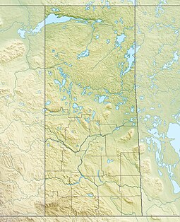
Pike Lake Provincial Park[1] is a recreational park located approximately 32 kilometres (20 mi) south-west of Saskatoon, Saskatchewan. Established in 1960, it is operated under the Government of Saskatchewan's Ministry of Parks, Culture, and Sport. It is located at the southern terminus of Highway 60 on the shore of Pike Lake,[2] an oxbow lake created by the South Saskatchewan River. The Pike Lake area is part of the aspen parkland biome and trees found around the park include aspen, ash, and birch.[3]
Several small residential subdivisions are located within the park on the west side of the lake and there is an unincorporated rural residential community immediately adjacent to the northern park gates of the park named Pike Lake. The Pike Lake community includes a school and a recreation centre. Other nearby communities include Delisle and Vanscoy.[4]
- ^ Government of Canada, Natural Resources Canada. "Place names - Pike Lake Provincial Park". www4.rncan.gc.ca.
- ^ Government of Canada, Natural Resources Canada. "Place names - Pike Lake". www4.rncan.gc.ca.
- ^ "Parks & trails in Saskatoon, Saskatchewan - eh Canada travel, tourism guide".
- ^ "Provincial Parks". The Encyclopedia of Saskatchewan. University of Regina. Retrieved 20 September 2022.

