| Pilibhit Tiger Reserve | |
|---|---|
IUCN category IV (habitat/species management area) | |
 Forest in Pilibhit Tiger Reserve | |
| Location | Pilibhit District |
| Nearest city | Pilibhit |
| Coordinates | 28°41′31″N 79°51′11″E / 28.692°N 79.853°E |
| Area | 730.24 km2 (281.95 sq mi) |
| Max. elevation | 172 |
| Established | 2014 2014 (as tiger reserve) |
| Governing body | National Tiger Conservation Authority |
| Website | https://pilibhittigerreserve.in/ |
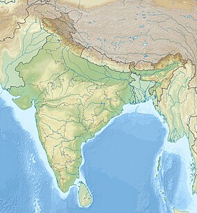
Pilibhit Tiger Reserve is located in Pilibhit district of Uttar Pradesh and was notified as a tiger reserve in 2014.[1] It forms part of the Terai Arc Landscape in the upper Gangetic Plain along the India-Nepal border. The habitat is characterized by sal forests, tall grasslands and swamp maintained by periodic flooding from rivers. The Sharda Sagar Dam extending up to a length of 22 km (14 mi) is on the boundary of the reserve.[2]
Pilibhit is one of the few well-forested districts in Uttar Pradesh. According to an estimate of the year 2018, Pilibhit district has over 800 km2 (310 sq mi) forests, constituting roughly 23% of the district’s total area. Forests in Pilibhit have at least 65 tiger and a prey including five species of deer. The tiger reserve got the first International award TX2 for doubling the tiger population in a stipulated time.[3]
- ^ Chanchani, P. (2015). "Pilibhit Tiger Reserve: conservation opportunities and challenges". Economic and Political Weekly. 50 (20): 19. Archived from the original on 18 August 2023. Retrieved 18 August 2023.
- ^ "Pilibhit Tiger Reserve". Reserve Guide - Project Tiger Reserves In India. National Tiger Conservation Authority. Retrieved 29 February 2012.
- ^ "Pilibhit Tiger Reserve Gets Global Award For Doubling Tiger Population". NDTV.com. Archived from the original on 26 November 2020. Retrieved 29 November 2020.

