| Pilyuda Пилюда | |
|---|---|
 | |
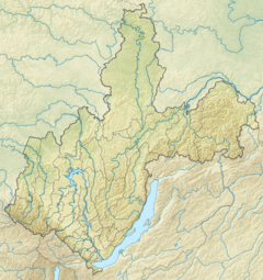
Mouth location in Irkutsk Oblast, Russia | |
| Location | |
| Country | Russia |
| Physical characteristics | |
| Source | |
| • location | Lena Plateau |
| • coordinates | 58°55′09″N 108°49′42″E / 58.91917°N 108.82833°E |
| • elevation | 404 m (1,325 ft) |
| Mouth | Lena |
• location | Near Orlova |
• coordinates | 58°16′33″N 109°07′06″E / 58.27583°N 109.11833°E |
• elevation | 232 m (761 ft) |
| Length | 105 km (65 mi) |
| Basin size | 1,760 km2 (680 sq mi) |
| Discharge | |
| • average | 10.17 m3/s (359 cu ft/s) |
| Basin features | |
| Progression | Lena→ Laptev Sea |
The Pilyuda (Russian: Пилюда) is a river in Irkutsk Oblast, Russia. It is a tributary of the Lena with a length of 105 kilometres (65 mi) and a drainage basin area of 1,760 square kilometres (680 sq mi).[1]
The river flows across an uninhabited area of the Kirensky District. Orlova village is located by the left bank, near the confluence with the Lena.[2]
- ^ "Река Пилюда in the State Water Register of Russia". textual.ru (in Russian).
- ^ "Топографска карта O-49; M 1:1 000 000 - Topographic USSR Chart (in Russian)". Retrieved 12 April 2022.
