| Pisgah Crater | |
|---|---|
 | |
| Highest point | |
| Elevation | 2,545 ft (776 m) NAVD 88[1] |
| Prominence | 353 ft (108 m)[1] |
| Coordinates | 34°44′47″N 116°22′30″W / 34.7463888°N 116.375°W |
| Geography | |
| Geology | |
| Mountain type | Cinder Cone |
| Volcanic arc | Lavic Lake volcanic field |
| Last eruption | c. 20,000 years BP |
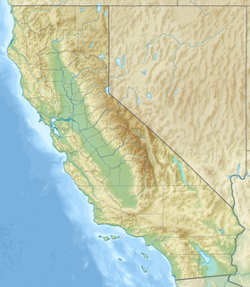
Pisgah Crater, or Pisgah Volcano, is a young volcanic cinder cone rising above a lava plain in the Mojave Desert, between Barstow and Needles, California in San Bernardino County, California. The volcanic peak is around 2.5 miles (4.0 km) south of historic U.S. Route 66-National Old Trails Highway and of Interstate 40, and west of the town of Ludlow.[2] The volcano had a historic elevation of 2,638 feet (804 m), but has been reduced to 2,545 feet (776 m) due to mining.[3]
- ^ a b "Pisgah Crater, California". Peakbagger.com. Retrieved 26 September 2014.
- ^ "Lavic Lake". Global Volcanism Program. Smithsonian Institution. Retrieved 11 July 2010.
- ^ USGS Sunshine Peak 7.5 topographic map, 1955


