This article includes a list of references, related reading, or external links, but its sources remain unclear because it lacks inline citations. (June 2014) |
You can help expand this article with text translated from the corresponding articles in Portuguese and Spanish. (December 2021) Click [show] for important translation instructions.
|
Plasencia | |
|---|---|
 Top: Plasencia New Cathedral, Second left: Casa Consistorial (Consistorial House), Second right: Palacio de los Monroy (Monroy Palace), Third left: Murallas de Plasencia (Plasencia Defensive Wall), Third right: Jerte River, Bottom: Acueducto de San Antón (Aqueduct of San Anton) | |
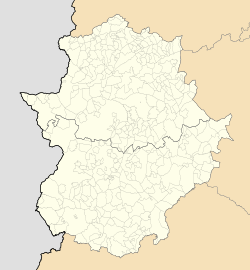
| Coordinates: 40°02′N 06°06′W / 40.033°N 6.100°W | |
| Country | Spain |
| Autonomous community | Extremadura |
| Province | Cáceres |
| Government | |
| • Mayor | Fernando Pizarro (PP) |
| Area | |
| • Total | 218 km2 (84 sq mi) |
| Elevation | 415 m (1,362 ft) |
| Population (2018)[1] | |
| • Total | 40,141 |
| • Density | 180/km2 (480/sq mi) |
| Demonym | Placentino/a |
| Time zone | UTC+1 (CET) |
| Postal code | 10600 |
| Website | www |
Plasencia (Spanish: [plaˈsenθja] ) is a walled market city in the province of Cáceres, Extremadura, Western Spain. As of 2013[update], it has a population of 41,047.
Situated on the bank of the Jerte River, Plasencia has a historic quarter that is a consequence of the city's strategic location along the Silver Route, or Ruta de la Plata. Since the 15th century, the noblemen of the region began to move to Plasencia, defining its current appearance.
- ^ Municipal Register of Spain 2018. National Statistics Institute.


