| Point Lonsdale Victoria | |||||||||||||||
|---|---|---|---|---|---|---|---|---|---|---|---|---|---|---|---|
 | |||||||||||||||
| Coordinates | 38°16′21″S 144°36′49″E / 38.27250°S 144.61361°E | ||||||||||||||
| Population | 2,684 (2016 census)[1] | ||||||||||||||
| Postcode(s) | 3225 | ||||||||||||||
| Location | |||||||||||||||
| LGA(s) | |||||||||||||||
| State electorate(s) | Bellarine | ||||||||||||||
| Federal division(s) | Corangamite | ||||||||||||||
| |||||||||||||||
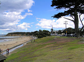
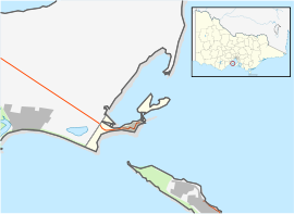
Point Lonsdale is a coastal township on the Bellarine Peninsula, near Queenscliff, Victoria, Australia. The town is divided between the Borough of Queenscliffe and the City of Greater Geelong. Point Lonsdale is also one of the headlands which, with Point Nepean, frame The Rip, the entrance to Port Phillip. The headland is dominated by the Point Lonsdale Lighthouse. At the 2016 census, Point Lonsdale had a population of 2,684. The population grows rapidly over the summer months through to the Easter period due to its popularity as a holiday destination.[1]
- ^ a b Australian Bureau of Statistics (27 June 2017). "Point Lonsdale (State Suburb)". 2016 Census QuickStats. Retrieved 16 November 2017.
