| Poke-O-Moonshine Mountain | |
|---|---|
| Pohqui Moosie | |
 Poke-O-Moonshine, with cliffs, from U.S. Route 9 to the north | |
| Highest point | |
| Elevation | 2,180 ft (660 m)[1] |
| Prominence | 361 ft (110 m) |
| Parent peak | Old Rang Mountain |
| Coordinates | 44°24′6″N 73°30′47″W / 44.40167°N 73.51306°W |
| Geography | |
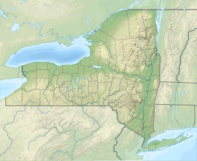
| Location | New York, U.S. |
| Parent range | Adirondacks |
| Topo map | Au Sable Forks |
| Climbing | |
| Easiest route | Old jeep road, trail |
Poke-O-Moonshine Mountain, spelled Pokamoonshine on U.S. Geological Survey maps, and sometimes known as just Poke-O, is a minor peak of the Adirondack Mountains. The name is believed to be a corruption of the Algonquin words pohqui, meaning 'broken', and moosie, meaning 'smooth'.[2] It is located in the town of Chesterfield, New York, United States, on New York state Forest Preserve land, part of the Taylor Pond Wild Forest complex within the Adirondack Park. Due to its location next to the pass through which most travelers from the north enter the range, it has been called the "gateway to the Adirondacks".
At its 2,180-foot (660 m) summit is a disused fire lookout tower listed on the National Register of Historic Places. While many of those who reach it and take in the sweeping views of the High Peaks and Lake Champlain hike up one of two trails from U.S. Route 9 near the mountain's base, the stone cliffs ringing its summit have attracted climbers, although their activities are limited during the nesting season of the peregrine falcon. Its easy access from the Adirondack Northway (Interstate 87) and challenging routes have made it the most popular rock and ice climbing spot in the Adirondacks,[3] regularly drawing visitors from both the U.S. and Canada.
- ^ "Poke-O-Moonshine". Summitpost.org. 2000–2013. Retrieved January 29, 2013.
- ^ Grant, James W. (September 2, 2009). "Lower Peaks, And Lighter Traffic". The New York Times. Retrieved January 29, 2013.
- ^ Lewis, S. Peter; Horowitz, David (2003). Selected Climbs in the Northeast: Rock, Alpine, and Ice Routes from the Gunks to Acadia. Seattle: The Mountaineers Books. pp. 104–114. ISBN 9780898868579. Retrieved January 30, 2013.
