You can help expand this article with text translated from the corresponding article in Chinese. (August 2024) Click [show] for important translation instructions.
|
Pulandian
普兰店区 Pulantien | ||||||||||||||||||||||||||||||||||
|---|---|---|---|---|---|---|---|---|---|---|---|---|---|---|---|---|---|---|---|---|---|---|---|---|---|---|---|---|---|---|---|---|---|---|
 Pulandian Railway Station (2002) | ||||||||||||||||||||||||||||||||||
| Coordinates: 39°24′32″N 121°58′01″E / 39.409°N 121.967°E[1] | ||||||||||||||||||||||||||||||||||
| Country | People's Republic of China | |||||||||||||||||||||||||||||||||
| Province | Liaoning | |||||||||||||||||||||||||||||||||
| Sub-provincial city | Dalian | |||||||||||||||||||||||||||||||||
| Seat | No. 12 Fuqian Road (府前路12号) | |||||||||||||||||||||||||||||||||
| Area | ||||||||||||||||||||||||||||||||||
| • Total | 2,769.90 km2 (1,069.46 sq mi) | |||||||||||||||||||||||||||||||||
| Population (2010)[3] | ||||||||||||||||||||||||||||||||||
| • Total | 741,230 | |||||||||||||||||||||||||||||||||
| • Density | 270/km2 (690/sq mi) | |||||||||||||||||||||||||||||||||
| Time zone | UTC+8 (China Standard) | |||||||||||||||||||||||||||||||||
| Postal code | 116200 | |||||||||||||||||||||||||||||||||
| Dalian district map |
| |||||||||||||||||||||||||||||||||
| Division code | 210214 | |||||||||||||||||||||||||||||||||
| Website | www | |||||||||||||||||||||||||||||||||
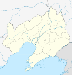
Pulandian District (simplified Chinese: 普兰店区; traditional Chinese: 普蘭店區; pinyin: Pǔlándiàn Qū) is one of the seven districts under the administration of Dalian, located in the south of Liaoning province, People's Republic of China. Its area is 2,769.90 square kilometres (1,069.46 sq mi) and its permanent population as of 2010[update] is 741,230.[2][3] The district borders the prefecture-level city of Yingkou to the north.
- ^ "Pulandian" (Map). Google Maps. Retrieved 2014-07-02.
- ^ a b Dalian Statistical Yearbook 2012 (《大连统计年鉴2012》). Accessed 8 July 2014.
- ^ a b 2010 Census county-by-county statistics (《中国2010年人口普查分县资料》). Accessed 8 July 2014.

