| Quinebaug River | |
|---|---|
 | |
 | |
| Location | |
| Country | United States |
| State | Connecticut, Massachusetts |
| Counties | New London, CT, Windham, CT, Worcester, MA, Hampden, MA |
| Physical characteristics | |
| Source | Holland Pond 42°04′55″N 72°09′49″W / 42.082071°N 72.163666°W |
| • location | Holland, Hampden County, Massachusetts, United States |
| • elevation | 645 ft (197 m) |
| Mouth | Empties into Shetucket River 41°33′22″N 72°02′46″W / 41.556°N 72.046°W |
• location | Preston and Lisbon, New London County, Connecticut, United States |
• elevation | 30 ft (9.1 m) |
| Discharge | |
| • location | Jewett City, CT |
| • average | 467 cu ft/s (13.2 m3/s)Average, 1920-2009 |
| • minimum | 40 cu ft/s (1.1 m3/s)Annual mean, 1931 |
| • maximum | 2,640 cu ft/s (75 m3/s)Annual mean, 1938 |
| Basin features | |
| Tributaries | |
| • left | French River |


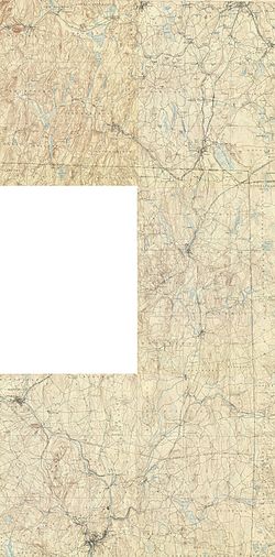
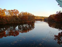
The Quinebaug River (/ˈkwɪnəbɔːɡ/ KWIH-nə-bawg) is a river in south-central Massachusetts and eastern Connecticut, with watershed extending into western Rhode Island. The name "Quinebaug" comes from the southern New England Native American term, spelled variously Qunnubbâgge, Quinibauge, etc., meaning "long pond", from qunni-, "long", and -paug, "pond".[1] The river is one of the namesake rivers in the Quinebaug and Shetucket Rivers Valley National Heritage Corridor.
- ^ Bright, William (2004). Native American placenames of the United States. University of Oklahoma Press. p. 405. ISBN 978-0-8061-3598-4. Retrieved 14 April 2011.