Qumya
قوميه Kumieh, Qumiya | |
|---|---|
Village | |
 Qumya, 1948 | |
| Etymology: "Stature", or "Support"[1] | |
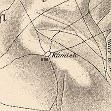
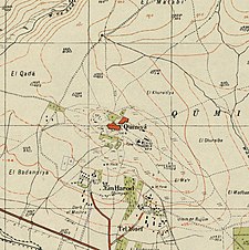
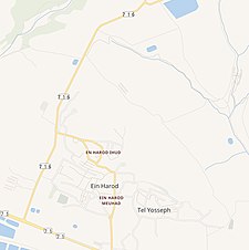
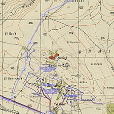
A series of historical maps of the area around Qumya (click the buttons) | |
Location within Mandatory Palestine | |
| Coordinates: 32°33′55″N 35°23′45″E / 32.56528°N 35.39583°E | |
| Palestine grid | 187/219 |
| Geopolitical entity | Mandatory Palestine |
| Subdistrict | Baysan |
| Date of depopulation | 26 March 1948[4] |
| Area | |
• Total | 4,898 dunams (4.898 km2 or 1.891 sq mi) |
| Population (1945) | |
• Total | 440[2][3] |
| Cause(s) of depopulation | Fear of being caught up in the fighting |
| Current Localities | Ein Harod (Ihud)[5] |
Qumya (Arabic: قوميه), was a Palestinian village of 510 inhabitants when it was depopulated prior to the 1948 Arab-Israeli war.[6]
Located 12.5 kilometers north of Baysan, the village was assaulted by the forces of the Golani Brigade on 26 March 1948 during Operation Gideon, on the orders of Yosef Weitz, a representative of the Jewish National Fund (JNF). Its inhabitants fled in fear of being caught in the fighting.
- ^ Palmer, 1881, p. 163
- ^ Department of Statistics, 1945, p. 7
- ^ a b Government of Palestine, Department of Statistics. Village Statistics, April, 1945. Quoted in Hadawi, 1970, p. 43
- ^ Morris, 2004, p. xvii, village #120. Also gives cause of depopulation
- ^ Cite error: The named reference
khalidi57was invoked but never defined (see the help page). - ^ Welcome to Qumya, Palestine Remembered, retrieved 2007-12-03


