| Geography | |
|---|---|
| Location | Fiji |
| Coordinates | 16°30′S 180°0′W / 16.500°S 180.000°W |
| Archipelago | Vanua Levu Group |
| Adjacent to | Koro Sea |
| Area | 67.3 km2 (26.0 sq mi)[1] |
| Length | 15 km (9.3 mi) |
| Administration | |
Fiji | |
| Division | Northern |
| Province | Cakaudrove |
| Largest settlement | Tabwewa (pop. 600) |
| Demographics | |
| Population | 5,000 (2014) |
| Pop. density | 74.3/km2 (192.4/sq mi) |
| Ethnic groups | Banabans 95%, Native Fijians 4%, Other 1% |
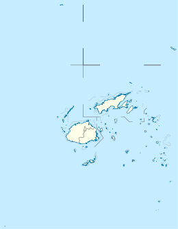
Rabi (pronounced [ˈrambi]) is a volcanic island in northern Fiji. It is an outlier to Taveuni (5 kilometers west), in the Vanua Levu Group. It covers an area of 66.3 square kilometers, reaching a maximum elevation of 463 meters and has a shoreline of 46.2 kilometers. With a population of around 5,000, Rabi is home to the Banabans who are the indigenous landowners of Ocean Island; the indigenous Fijian community that formerly lived on Rabi was moved to Taveuni after the island was purchased by the British government. The original inhabitants still maintain their links to the island, and still use the Rabi name in national competitions.
- ^ Gillespie, Rosemary G.; D. A. Clague (2009). Encyclopedia of Islands. University of California Press. p. 299. ISBN 978-0520256491.
