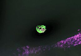
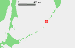
Native name: Райкоке 雷公計島 | |
|---|---|
 NASA Landsat view of Raikoke Island | |
 | |
| Geography | |
| Location | Sea of Okhotsk |
| Coordinates | 48°17′31″N 153°15′04″E / 48.29194°N 153.25111°E |
| Archipelago | Kuril Islands |
| Area | 4.6 km2 (1.8 sq mi) |
| Highest elevation | 551 m (1808 ft) |
| Highest point | Pik Raikoke |
| Administration | |
Russia | |
| Demographics | |
| Population | 0 |
Raikoke (Russian: Райкоке, Japanese: 雷公計島), also spelled Raykoke, is, as of 2019, a Russian uninhabited volcanic island near the centre of the Kuril Islands chain in the Sea of Okhotsk in the northwest Pacific Ocean, 16 kilometres (9.9 mi) distant from the island of Matua. Its name is derived from the Ainu language, from the Hokkaido Ainu word "hellmouth".[citation needed]