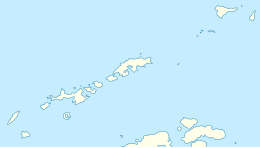
 Location of Livingston Island in the South Shetland Islands | |
| Geography | |
|---|---|
| Location | Antarctica |
| Coordinates | 62°32′06.8″S 60°26′51″W / 62.535222°S 60.44750°W |
| Archipelago | South Shetland Islands |
| Area | 0.47 ha (1.2 acres) |
| Length | 127 m (417 ft) |
| Width | 100 m (300 ft) |
| Administration | |
| Administered under the Antarctic Treaty | |
| Demographics | |
| Population | uninhabited |

Ramsden Rock (Bulgarian: скала Рамсдън, romanized: skala Ramsden, IPA: [skɐˈla ˈramsdən]) is the rock off the north coast of Livingston Island in the South Shetland Islands, Antarctica 127 m long in southeast–northwest direction and 100 m wide. It is split in several abutting parts with an aggregate surface area of 0.47 ha. The vicinity was visited by early 19th century sealers.[1]
The feature is named after Jesse Ramsden (1735-1800), a British mathematician and scientific instrument maker who created a modern, accurate theodolite; in association with other names in the area deriving from the early development or use of geodetic instruments and methods.
- ^ L. Ivanov. General Geography and History of Livingston Island. In: Bulgarian Antarctic Research: A Synthesis. Eds. C. Pimpirev and N. Chipev. Sofia: St. Kliment Ohridski University Press, 2015. pp. 17–28

