| Rara National Park | |
|---|---|
 Rara Lake | |
| Location | Nepal |
| Nearest city | Jumla |
| Coordinates | 29°30′N 82°04′E / 29.500°N 82.067°E |
| Area | 106 km2 (41 sq mi) |
| Established | 1976 |
| Governing body | Department of National Parks and Wildlife Conservation |


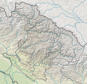
Rara National Park is a protected area in the Himalayas of Nepal and was established in 1976. Covering an area of 106 km2 (41 sq mi) in the Mugu and Jumla districts, it is the country's smallest national park.[1] Its main feature is Rara Lake at an altitude of 2,990 m (9,810 ft).[2] The park was established to protect the unique flora and fauna of the Humla–Jumla Region of Nepal.
The park ranges in elevation from 2,800 m (9,200 ft) to 4,039 m (13,251 ft) at Chuchemara Peak on the southern side of Rara Lake. On the northern side, the peaks of Ruma Kand and Malika Kand frame the alpine freshwater lake, which is the largest lake in Nepal with a surface of 10.8 km2 (4.2 sq mi) and a maximum depth of 167 m (548 ft). It is oval-shaped with an east–west axis, a length of 5 km (3.1 mi) and a width of 3 km (1.9 mi) draining into the Mugu-Karnali River via Nijar Khola.[2]
Rara National Park is managed by the Department of National Parks and Wildlife Conservation and protected with the assistance of the Nepal Army.
- ^ "Rara". Protected Planet. Retrieved 5 January 2022.
- ^ a b Bhuju, U. R.; Shakya, P. R.; Basnet, T. B.; Shrestha, S. (2007). Nepal Biodiversity Resource Book. Protected Areas, Ramsar Sites, and World Heritage Sites (PDF). Kathmandu: International Centre for Integrated Mountain Development, Ministry of Environment, Science and Technology, in cooperation with United Nations Environment Programme, Regional Office for Asia and the Pacific. ISBN 978-92-9115-033-5.

