This article has multiple issues. Please help improve it or discuss these issues on the talk page. (Learn how and when to remove these messages)
|
| Ratangad | |
|---|---|
 Ratangad fort from Village Ratanwadi | |
| Highest point | |
| Elevation | 1297 m[1] |
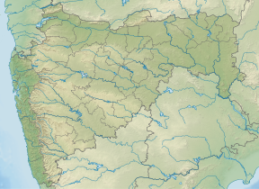
| Coordinates | 19°30′N 73°41′E / 19.5°N 73.69°E |
| Naming | |
| English translation | रतनगड |
| Language of name | Marathi |
| Geography | |
| Location | Ratanwadi, Taluka Akole, Ahmednagar District, Maharashtra 422604, India |
| Parent range | Western Ghats |
| Geology | |
| Mountain type | Hill Fort |
Ratangad (Marathi: रतनगड) is a fort in Ratanwadi, Maharashtra, India, overlooking the locale of Bhandardara, one of the oldest artificial catchment area. This fort is located in the Ahmadnagar district of Maharashtra. It is on the boundary of Ahmadnagar and Thane districts. The fort is about 400 years old. This fort is often covered with flowering plants in November. Ratangad is also called Jewel of the Sahyadris.[2]
- ^ Mahara shtra State Gazetteers: Ahmednagar. Directorate of Government Print., Stationery and Publications, Maharashtra State. 1974. p. 5.
- ^ http://www.meraevents.com/event/trek-to-ratangad-jewel-of-forts
