Rice Fork | |
|---|---|
 Rice Fork at Crabtree Hot Springs | |
| Coordinates: 39°17′23.59″N 122°49′19.98″W / 39.2898861°N 122.8222167°W | |
| Country | United States |
| State | California |
| County | Lake County |
| Elevation | 2,257 ft (688 m) |
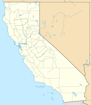
The Rice Fork[1] is a 22.7-mile-long (36.5 km)[2] tributary of the Eel River in Lake County, California. The Rice Fork begins on the upper northwest side of Goat Mountain, on the Colusa-Lake County line, at an elevation of over 6,000 feet (1,800 m). It quickly descends the steep western slope of the mountain, then bends northward, and flows northwesterly down a narrow winding steep walled canyon for about 18 miles (29 km), crossing two forest roads and adding many tributaries, ending its journey at the southern tip of Lake Pillsbury, at a varied elevation around 1,800 feet (550 m), depending on the lake level. Before the construction of Scott Dam in the 1920s, which formed Lake Pillsbury, the Rice Fork ran directly into the Eel River. It is one of Lake County's longest streams.
The many tributaries to Rice Fork are Salt Creek, French Creek, Parramore Creek, Bevans Creek, Bear Creek, Packsaddle Creek, Willow Creek, Deer Creek, Rice Creek, and Soda Creek.
- ^ U.S. Geological Survey Geographic Names Information System: Rice Fork
- ^ U.S. Geological Survey. National Hydrography Dataset high-resolution flowline data. The National Map Archived 2012-03-29 at the Wayback Machine, accessed March 9, 2011
