 Risga seen from Càrna | |
| Location | |
|---|---|
| OS grid reference | NM6105760026 |
| Coordinates | 56°40′15″N 5°54′06″W / 56.670754°N 5.9016713°W |
| Physical geography | |
| Island group | Inner Hebrides |
| Area | 12 hectares (0.05 sq mi)[1] |
| Highest elevation | 43m[2] |
| Administration | |
| Council area | Highland |
| Country | Scotland |
| Sovereign state | United Kingdom |
| Demographics | |
| Population | 0 |
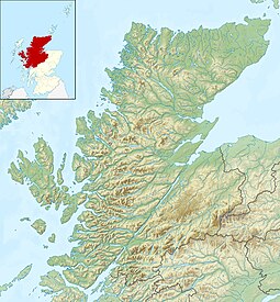
Risga is an uninhabited[2] island in between Càrna and Oronsay, in the centre of Loch Sunart,[3] about 800 yards (730 m) from the north shore,[4] in the council area of Highland, Scotland. Its area is 12 hectares (30 acres)[1] and its highest elevation is 43 metres (141 ft).[2] In 1950, over 50 pairs of Lesser black-backed gull were recorded.[5] The island is included in the grounds of Glenborrodale Castle[6] and is part of Sunart SSSI.[7] Ross Rock is located about 200 yards (180 m) from Risga.[8] Risga has at least 60 crotagans along the east coast, used for fishing.[9] Risga is a rocky island.[10]
- ^ a b "Risga, Loch Sunart". Canmore. Retrieved 10 October 2018.
- ^ a b c "Risga". Gazetteer for Scotland. Retrieved 10 October 2018.
- ^ The Scottish Islands: The Bestselling Guide to Every Scottish Island. Hamish Haswell-Smith. 2015. p. 128. ISBN 9781782116783. Retrieved 5 February 2019.
- ^ "Sailing Directions for the West Coast of Scotland: Mull of Galloway to Cape Wrath Including the Hebrides". U.S. Government Printing Office, 1951. Retrieved 10 October 2018.
- ^ "Atlantic Seabirds: Quarterly Journal of the Seabird Group and of the Dutch Seabird Group, Volumes 1-4". Seabird Group, 1999. 1999. Retrieved 10 October 2018.
- ^ "Glenborrodale Castle". Bell Ingram. Retrieved 10 October 2018.
- ^ "Loch Sunart" (PDF). Forestry Commission Scotland. Retrieved 17 December 2018.
- ^ "Sailing Directions for the West Coast of Scotland: Mull of Galloway to Cape Wrath Including the Hebrides". U.S. Government Printing Office, 1951. 1951. Retrieved 10 October 2018.
- ^ "Bait Hole(S)". Canmore. Retrieved 30 November 2018.
- ^ "OS1/2/61/99". ScotlandPlaces. Retrieved 5 February 2019.
