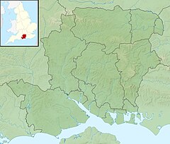
| River Hart | |
|---|---|
 Just upstream of treated wastewater outfall of Hartley Wintney sewage treatment works | |
| Etymology | A hart – a deer |
| Location | |
| Country | England |
| Counties | Hampshire |
| Districts / Boroughs | Hart |
| Physical characteristics | |
| Source | |
| • location | Crondall, Hampshire, United Kingdom |
| • coordinates | 51°14′07″N 0°51′33″W / 51.23524°N 0.85920°W |
| • elevation | 85 metres (279 ft) |
| Mouth | River Whitewater |
• location | Hart, Hampshire |
• coordinates | 51°20′32″N 0°56′13″W / 51.34224°N 0.93683°W |
• elevation | 46 metres (151 ft) |
| Basin features | |
| Progression | Hart, Whitewater, Blackwater, Loddon, Thames |
| Tributaries | |
| • right | Fleet Brook |
The River Hart is a tributary of the River Whitewater in north Hampshire, England. It rises at Ashley Head spring in Crondall and flows north to meet the Whitewater at Bramshill.[1][2][3]
The Hart district of Hampshire is named after the river.
- ^ Ordnance Survey of Great Britain
- ^ "River Hart - Flood Warning Area Detail". Environment Agency. Retrieved 30 January 2015.
- ^ "River Hart, Hampshire". Explore Britain. Retrieved 30 January 2015.
