This article needs additional citations for verification. (May 2008) |
| Tove | |
|---|---|
 The River Tove at Abthorpe, Northamptonshire. | |
| Location | |
| Sovereign State | United Kingdom |
| Country | England |
| County | Northamptonshire |
| Physical characteristics | |
| Source | |
| • location | Greatworth, Northamptonshire |
| • coordinates | 52°05′30″N 1°11′49″W / 52.091560°N 1.1970709°W |
| • elevation | 165 m (541 ft) |
| Mouth | River Great Ouse |
• location | Cosgrove, Northamptonshire |
• coordinates | 52°04′19″N 0°49′54″W / 52.071924°N 0.831661°W |
• elevation | 63 m (207 ft) |
| Basin size | 216 km2 (83 sq mi) |
| Basin features | |
| River system | River Great Ouse |
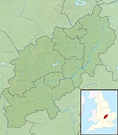
The River Tove is a river in England, a tributary of the River Great Ouse. Rising in Northamptonshire about a mile north of Greatworth, it flows for about 15 miles (24 km) north and east of the town of Towcester (meaning 'camp on the Tove') near Bury Mount before meeting the Ouse south-east of Cosgrove just north of Milton Keynes. Its final 5 miles (8 km) form part of the border between Northamptonshire and Buckinghamshire, running alongside the Grand Union Canal. The river ultimately flows into the North Sea.
