This article needs additional citations for verification. (June 2020) |
Nickname: Chelbacheb | |
|---|---|
 Aerial view of Ngerukewid | |
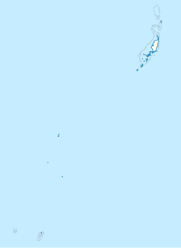
 Map of the Rock Islands | |
| Geography | |
| Coordinates | 7°14′N 134°18′E / 7.233°N 134.300°E |
| Total islands | 250–300 |
| Area | 41.12 km2 (15.88 sq mi) |
| Highest elevation | 207 m (679 ft) |
| Administration | |
| State | Koror |
| Demographics | |
| Population | 6 (2014) |
| Official name | Rock Islands Southern Lagoon |
| Criteria | Cultural: iii, v; Natural: vii, ix, x |
| Reference | 1386 |
| Inscription | 2012 (36th Session) |
| Area | 100,200 ha |
| Buffer zone | 164,000 ha |
The Rock Islands of Palau, also called Chelbacheb, are a collection of several hundred small limestone or coral uprises in the Southern Lagoon of Palau between Koror and Peleliu, now an incorporated part of Koror State. There are between 250 and 300 islands in the group according to different sources, with an aggregate area of 42 square kilometers (16 sq mi) and a maximum height of 207 meters (679 ft).[1] The islands were declared a UNESCO World Heritage Site in 2012.
