| Roselands Sydney, New South Wales | |||||||||||||||
|---|---|---|---|---|---|---|---|---|---|---|---|---|---|---|---|
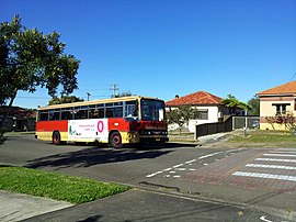
 Post-War suburban housing on Leslie Street (2012) | |||||||||||||||
 | |||||||||||||||
| Population | 12,356 (2021 census)[1] | ||||||||||||||
| Established | 1987 | ||||||||||||||
| Postcode(s) | 2196 | ||||||||||||||
| Elevation | 58 m (190 ft) | ||||||||||||||
| Location | 16 km (10 mi) SW of Sydney CBD | ||||||||||||||
| LGA(s) | City of Canterbury-Bankstown | ||||||||||||||
| State electorate(s) | |||||||||||||||
| Federal division(s) | Watson | ||||||||||||||
| |||||||||||||||
Roselands is a suburb to the south-west of the Sydney CBD, in the state of New South Wales, Australia. Roselands is located 16 kilometres south-west of the Sydney central business district in the City of Canterbury-Bankstown. It is one of the easternmost suburbs in the Western Sydney area and is one of the major suburbs in Sydney without a train station.[2]
- ^ Australian Bureau of Statistics (28 June 2022). "Roselands (State Suburb)". 2021 Census QuickStats. Retrieved 11 October 2024.
- ^ "Map of Roselands, NSW 2196 | Whereis®".