| Roseville Chase Sydney, New South Wales | |||||||||||||||
|---|---|---|---|---|---|---|---|---|---|---|---|---|---|---|---|
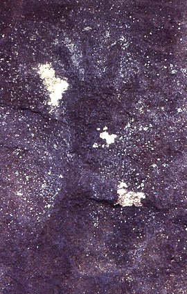
 Aboriginal hand stencil in Roseville Chase | |||||||||||||||
 | |||||||||||||||
| Population | 1,618 (2021 census)[1] | ||||||||||||||
| Postcode(s) | 2069 | ||||||||||||||
| Elevation | 81 m (266 ft) | ||||||||||||||
| Location | 11 km (7 mi) north-west of Sydney CBD | ||||||||||||||
| LGA(s) | Ku-ring-gai Council | ||||||||||||||
| State electorate(s) | Davidson | ||||||||||||||
| Federal division(s) | Bradfield | ||||||||||||||
| |||||||||||||||
Roseville Chase is a suburb on the Upper North Shore of Sydney in the state of New South Wales, Australia 11 kilometres north-west of the Sydney central business district, in the local government area of Ku-ring-gai Council. Roseville is a separate suburb to the west.[2]
- ^ Australian Bureau of Statistics (28 June 2022). "Roseville Chase". 2021 Census QuickStats. Retrieved 30 January 2024.
- ^ Cite error: The named reference
gmapwas invoked but never defined (see the help page).