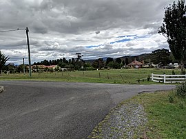
| Royalla Queanbeyan, New South Wales | |||||||||||||||
|---|---|---|---|---|---|---|---|---|---|---|---|---|---|---|---|
 Royalla | |||||||||||||||
 | |||||||||||||||
| Coordinates | 35°30′25″S 149°10′05″E / 35.50694°S 149.16806°E | ||||||||||||||
| Population | 1,063 (SAL 2021)[1] | ||||||||||||||
| Postcode(s) | 2620 | ||||||||||||||
| Elevation | 800 m (2,625 ft) | ||||||||||||||
| Location |
| ||||||||||||||
| LGA(s) | Queanbeyan-Palerang Regional Council | ||||||||||||||
| State electorate(s) | Monaro | ||||||||||||||
| Federal division(s) | |||||||||||||||
| |||||||||||||||
Royalla is a rural locality on the border of New South Wales and the Australian Capital Territory.[2][3] The area takes its name from the nearby Mount Rob Roy, and was originally a railway settlement on the Bombala railway line known as Rob Roy and changed to the current name in 1905. Modern Royalla is a large rural locality east of the Monaro Highway. The border with the ACT follows the western boundary of the easement of the former railway line to the east of the highway. The town was served by a railway station until 1975. The NSW part of Royalla had a population of 984 at the 2016 census.[4]
- ^ Australian Bureau of Statistics (28 June 2022). "Royalla (suburb and locality)". Australian Census 2021 QuickStats. Retrieved 28 June 2022.
- ^ "Royalla". Geographical Names Register (GNR) of NSW. Geographical Names Board of New South Wales. Retrieved 16 August 2017.
- ^ "Royalla". OpenStreetMap. Retrieved 16 August 2017.
- ^ Australian Bureau of Statistics (27 June 2017). "Royalla (state suburb)". 2016 Census QuickStats. Retrieved 28 June 2017.
