Rushville, Ohio | |
|---|---|
 Downtown Rushville Ohio | |
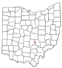
 Location of Rushville, Ohio | |
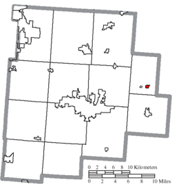
 Location of Rushville in Fairfield County | |
| Coordinates: 39°45′52″N 82°25′49″W / 39.76444°N 82.43028°W | |
| Country | United States |
| State | Ohio |
| County | Fairfield |
| Area | |
• Total | 0.24 sq mi (0.62 km2) |
| • Land | 0.24 sq mi (0.62 km2) |
| • Water | 0.00 sq mi (0.00 km2) |
| Elevation | 1,056 ft (322 m) |
| Population (2020) | |
• Total | 304 |
| • Density | 1,266.67/sq mi (488.25/km2) |
| Time zone | UTC-5 (Eastern (EST)) |
| • Summer (DST) | UTC-4 (EDT) |
| ZIP codes | 43150 |
| Area code | 740 |
| FIPS code | 39-69204[3] |
| GNIS feature ID | 2399144[2] |
Rushville is a village in Fairfield County, Ohio, United States. The population was 304 at the 2020 census. Much of the village is listed on the National Register of Historic Places as the Rushville Historic District.
- ^ "ArcGIS REST Services Directory". United States Census Bureau. Retrieved September 20, 2022.
- ^ a b U.S. Geological Survey Geographic Names Information System: Rushville, Ohio
- ^ "U.S. Census website". United States Census Bureau. Retrieved January 31, 2008.