Rutland County | |
|---|---|
 | |
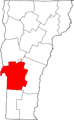
 Location within the U.S. state of Vermont | |
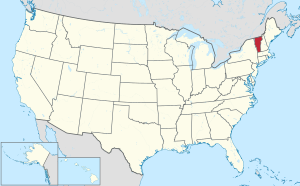
 Vermont's location within the U.S. | |
| Coordinates: 43°34′48″N 73°02′12″W / 43.58009°N 73.03661°W | |
| Country | |
| State | |
| Founded | 1781 |
| Named for | Rutland, Massachusetts |
| Shire Town | Rutland |
| Largest city | Rutland |
| Area | |
• Total | 945 sq mi (2,450 km2) |
| • Land | 930 sq mi (2,400 km2) |
| • Water | 15 sq mi (40 km2) 1.6% |
| Population (2020) | |
• Total | 60,572 |
• Estimate (2022) | 60,366 |
| • Density | 64/sq mi (25/km2) |
| Time zone | UTC−5 (Eastern) |
| • Summer (DST) | UTC−4 (EDT) |
| Congressional district | At-large |
Rutland County is a county located in the U.S. state of Vermont. As of the 2020 census, the population was 60,572,[1] making it the second-most populous county in Vermont. Its county seat and most populous municipality is the city of Rutland.[2]
- ^ "State & County QuickFacts". United States Census Bureau. Retrieved August 16, 2023.
- ^ "Find a County". National Association of Counties. Retrieved June 7, 2011.