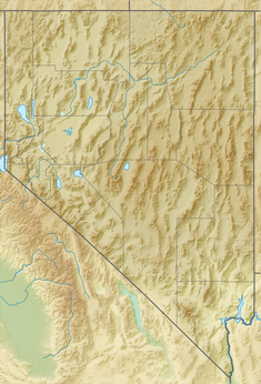
| Rye Patch Dam | |
|---|---|
 | |
| Location | Pershing County, Nevada |
| Coordinates | 40°41′53″N 118°17′15″W / 40.6981075°N 118.2873959°W[1] |
| Purpose | Irrigation |
| Status | In use |
| Opening date | 1936 |
| Operator(s) | Pershing County Water Conservation District |
| Dam and spillways | |
| Type of dam | Earth-fill |
| Impounds | Humboldt River |
| Height | 78 ft (24 m) |
| Length | 1,074 ft (327 m) |
| Reservoir | |
| Creates | Rye Patch Reservoir |
| Total capacity | 213,000 acre⋅ft (263,000,000 m3)[2] |
| Surface area | 11,970 acres (48.4 km2) |
| Normal elevation | 4,136 ft (1,261 m)[3] |
The Rye Patch Reservoir is a reservoir on the Humboldt River in the U.S. state of Nevada. It is located about 22 miles (35 km) northeast of the town of Lovelock, and is managed by the Pershing County Water Conservation District. The reservoir stores water for the agricultural area surrounding Lovelock, which is at the far downstream reach of the Humboldt, near the Humboldt Sink. Since the Lovelock area receives a mere 5.76 inches (146 mm) of rain annually, agriculture requires irrigation, but the high variability of the Humboldt (which often runs completely dry) means that water storage is necessary for irrigation to be feasible.[4]
- ^ "Rye Patch Reservoir". Geographic Names Information System. United States Geological Survey, United States Department of the Interior. Retrieved Jan 17, 2021.
- ^ "Dam details – Rye Patch Dam – Bureau of Reclamation". Retrieved 1 June 2012.
- ^ Horton, Gary A. (2000). Humboldt River Chronology: an Overview (PDF). Carson City, NV: Nevada Division of Water Planning. pp. 108–112.
- ^ Autobee, Robert. "Humboldt Project". Bureau of Reclamation. Archived from the original on 2013-03-16. Retrieved 2012-06-05.
