 Kuressaare Castle in Kuressaare | |
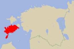
 Location of Saaremaa in Estonia | |
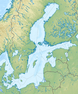
Location within Baltic Sea region | |
| Geography | |
|---|---|
| Location | Baltic Sea |
| Coordinates | 58°25′N 22°30′E / 58.417°N 22.500°E |
| Archipelago | West Estonian archipelago |
| Area | 2,673 km2 (1,032 sq mi) |
| Administration | |
| County | Saare County |
| Demographics | |
| Population | 31,435 (January 2020) |
| Pop. density | 11.7/km2 (30.3/sq mi) |
Saaremaa (/ˈsɑːrəmɑː/; Estonian: [ˈsɑˑreˌmɑː]) is the largest and most populous island in Estonia. Measuring 2,673 km2 (1,032 sq mi),[1] its population is 31,435 (as of January 2020).[2] The main island of the West Estonian archipelago (Moonsund archipelago), it is located in the Baltic Sea, south of Hiiumaa island and northwest of the Gulf of Riga. The administrative centre of the island, and of the Saare maakond (county), is the town of Kuressaare.
From the 13th century until the first half of the 20th century, the island of Saaremaa was known in most of the world by variants of its other historical name Ösel.
- ^ "Official Web page of Saaremaa".
- ^ ""Eesti elanike arv KOV-ide lõikes seisuga 01.01.2020"" (PDF). Ministry of the Interior Official Website. Ministry of the Interior. Retrieved 13 August 2020.


