Salamah
سلمة Selmeh | |
|---|---|
 The mosque in Salamah, now in Kfar Shalem | |
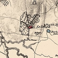
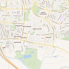
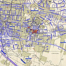
A series of historical maps of the area around Salama, Jaffa (click the buttons) | |
Location within Mandatory Palestine | |
| Coordinates: 32°02′57″N 34°48′18″E / 32.04917°N 34.80500°E | |
| Palestine grid | 131/161 |
| Geopolitical entity | Mandatory Palestine |
| Subdistrict | Jaffa |
| Date of depopulation | 25 April 1948[2] |
| Area | |
• Total | 6,782 dunams (6.782 km2 or 2.619 sq mi) |
| Population (1945) | |
• Total | 6,730[1] |
| Cause(s) of depopulation | Military assault by Yishuv forces |
| Current Localities | Tel Aviv |
Salamah (Arabic: سلمة) was a Palestinian Arab village, located five kilometers east of Jaffa, that was depopulated in the lead-up to the 1948 Arab-Israeli War. The town contains the supposed grave of Salama Abu Hashim, a companion of the Islamic prophet Muhammad. His tomb, two village schools, and ten houses from among the over 800 houses that had made up the village, are all that remain of the structures of the former village today.[3][4]


