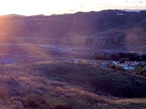
| San Francisquito Creek | |
|---|---|
 | |
 | |
| Etymology | Spanish |
| Native name | Arroyo San Francisquito (Spanish) |
| Location | |
| Country | United States |
| State | California |
| Region | Los Angeles County |
| Physical characteristics | |
| Source | |
| • location | southwest of San Francisquito Pass |
| • coordinates | 34°38′12.62″N 118°23′5.86″W / 34.6368389°N 118.3849611°W[1] |
| • elevation | 3,544 feet (1,080 m)[2] |
| Mouth | |
• location | confluence with Santa Clara River |
• coordinates | 34°25′34.21″N 118°34′9.26″W / 34.4261694°N 118.5692389°W[1] |
• elevation | 1,082 feet (330 m)[2] |
| Length | 22 mi (35 km) |
| Basin features | |
| River system | Santa Clara River |

San Francisquito Creek, in Los Angeles County, is a tributary stream of the Santa Clara River. It drains the south facing slopes of the Sierra Pelona Mountains of the San Gabriel Mountains within the Transverse Range of California, United States.
The closest populated place to the creek is Green Valley that lies along the upper course of the creek, in the upper part of San Francisquito Canyon, southeast of the source of the Creek at San Francisquito Pass. At its mouth and confluence with the Santa Clara River is Santa Clarita.