San Pa Tong
สันป่าตอง | |
|---|---|
 Wat Phai Ruak ruins of Wiang Tha Kan archeological site | |
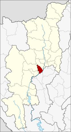
 District location in Chiang Mai province | |
| Coordinates: 18°37′43″N 98°53′44″E / 18.62861°N 98.89556°E | |
| Country | Thailand |
| Province | Chiang Mai |
| Seat | Yu Wa |
| Area | |
| • Total | 178.18 km2 (68.80 sq mi) |
| Population (2010) | |
| • Total | 75,600 |
| • Density | 431.2/km2 (1,117/sq mi) |
| Time zone | UTC+7 (ICT) |
| Postal code | 50120 |
| Geocode | 5012 |
San Pa Tong (Thai: สันป่าตอง, pronounced [sǎn pàː tɔ̄ːŋ]) is a district (amphoe) of Chiang Mai province in northern Thailand.