This article needs additional citations for verification. (December 2021) |
Sann
(Sindhi: سن) | |
|---|---|
| Coordinates: 26°02′25″N 68°08′15″E / 26.040299°N 68.137632°E[1] | |
| Country | Pakistan |
| Region | Sindh |
| District | Jamshoro |
| Taluka | Manjhand |
| Time zone | UTC+5 (PST) |
| • Summer (DST) | UTC+6 (PDT) |
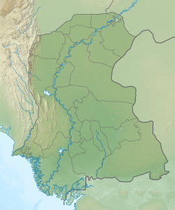
Sann is a small town and union council[2] located in Manjhand taluka of Jamshoro District, Sindh Province, Pakistan.[3][4] It lies on the western bank of the Indus river, at the mouth of an intermittent stream that brings down water from the Lakhi hills when it rains.[3] The town is located midway between Manjhand and Amri on the main Sehwan-Kotri trunk road.[3]
Ranikot, the world's largest fort, is about 30 km southwest of Sann.
The Sindhi nationalist leader G. M. Syed was born in Sann, and his birthday is celebrated here annually.[5]
- ^ "Geonames Search". Do a radial search using these coordinates here.
- ^ "Union Council wise Thematic Analysis". Department of Health, Government of Sindh. Retrieved 25 December 2021.
- ^ a b c Hughes, A.W. (1874). A Gazetteer of the Province of Sindh. London: George Bell and Sons. pp. 696–7. Retrieved 25 December 2021.
- ^ "List of Dehs in Sindh" (PDF). Sindh Zameen. Retrieved 25 December 2021.
- ^ Chandio, Amir Ali (2009). "An analysis of Jeay Sindh Tahreek as an ethno-nationalist movement of Pakistan". Pakistan Perspectives. 14 (1): 105. Retrieved 28 December 2021.

