| Santa Maria Mountains | |
|---|---|
Santa Maria Mountains in Arizona | |
| Highest point | |
| Peak | Hyde Creek Mountain, Santa Maria Mountains-(center-SW) |
| Elevation | 7,272 ft (2,217 m) |
| Coordinates | 34°50′07″N 112°55′07″W / 34.8353°N 112.91852°W |
| Dimensions | |
| Length | 16 mi (26 km) NW-SE |
| Geography | |
| Country | United States |
| State | Arizona |
| Region | Arizona transition zone |
| County | Yavapai |
| Communities | Tucker, Chino Valley, Bagdad and Seligman |
| Range coordinates | 34°51′24″N 112°54′34″W / 34.8567°N 112.9094°W |
| Borders on | Mohon Mountains, Juniper Mountains, Chino Valley, Williamson Valley, Sierra Prieta and Cornell Mountains |
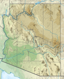
The Santa Maria Mountains are a 16-mi (26 km) long[1] mountain range in central-northwest Arizona, and in northwest Yavapai County. The range lies in a region of mesas and mountain ranges in the northwest of Arizona's transition zone. The Santa Maria Mountains lie east of the transition zone's northwest perimeter, the parallel Aquarius and Mohon Mountains.
The townsite of Tucker, Arizona lies 8 mi east, and is located just west of Chino Valley, AZ. Tucker lies in the center-east of the small Williamson Valley.
- ^ Arizona Road & Recreation Atlas, Benchmark Maps, 1998, pp. 66–67, 68.
