Nickname: Ilha-berço (cradle island) | |
|---|---|
 | |
 | |
| Geography | |
| Location | Atlantic Ocean |
| Coordinates | 15°04′N 23°38′W / 15.067°N 23.633°W |
| Area | 991 km2 (383 sq mi) |
| Length | 54.9 km (34.11 mi) |
| Width | 28.8 km (17.9 mi) |
| Highest elevation | 1,392 m (4567 ft) |
| Highest point | Pico de Antónia |
| Administration | |
| Concelhos (Municipalities) | Praia, Ribeira Grande de Santiago, Santa Catarina, Santa Cruz, São Domingos, São Lourenço dos Órgãos, São Miguel, São Salvador do Mundo, Tarrafal |
| Largest settlement | Praia (pop. 151,436) |
| Demographics | |
| Population | 294,135[1]: 36 (2015) |
| Pop. density | 296.8/km2 (768.7/sq mi) |
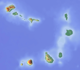
Santiago (Portuguese for “Saint James”) is the largest island of Cape Verde, its most important agricultural centre and home to half the nation's population. Part of the Sotavento Islands, it lies between the islands of Maio (26 km (16 mi) to the east) and Fogo (55 kilometres (34 miles) to the west). It was the first of the islands to be settled: the town of Ribeira Grande (now Cidade Velha and a UNESCO World Heritage Site[2]) was founded in 1462. Santiago is home to the nation's capital city of Praia.
- ^ Cite error: The named reference
yearbookwas invoked but never defined (see the help page). - ^ "Cidade Velha, Historic Centre of Ribeira Grande - UNESCO World Heritage Centre". Retrieved 8 July 2011.

