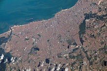

Satellite images (also Earth observation imagery, spaceborne photography, or simply satellite photo) are images of Earth collected by imaging satellites operated by governments and businesses around the world. Satellite imaging companies sell images by licensing them to governments and businesses such as Apple Maps and Google Maps.