| Satsurblia Cave Natural Monument | |
|---|---|
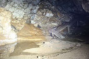
 Inside Satsurblia Cave | |
| Nearest city | Tsqaltubo |
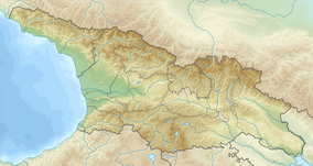
| Coordinates | 42°23′17.2″N 42°36′22.2″E / 42.388111°N 42.606167°E |
| Area | 0.01 km2 (0.0039 sq mi) |
| Established | 2011 |
| Governing body | Agency of Protected Areas |
| Website | საწურბლიას მღვიმის ბუნების ძეგლი |
 Satsurblia Cave | |
| Region | Sataplia-Tskaltubo karst massif |
|---|---|
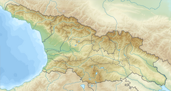
| Coordinates | 42°23′17.2″N 42°36′22.2″E / 42.388111°N 42.606167°E |
| Altitude | 360 m (1,181 ft)[1] |
| Type | karst cave |
| Length | 125 m |
| History | |
| Periods | Late Upper Paleolithic |
| Site notes | |
| Excavation dates | 1976, 1985–88, 1989–1992, 2008–2010, 2012–2013 |
| Archaeologists | A. N. Kalandadze, T. Meshveliani |
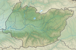
Satsurblia Cave Natural Monument (Georgian: საწურბლიას მღვიმე) is a paleoanthropological site located 1.2 km from Kumistavi village, Tsqaltubo Municipality, in the Imereti region of Georgia, 287 meters above sea level.[2][3] The karst cave was first excavated in 1976 by A. N. Kalandadze.[4] In the Middle Ages the cave was used as a refuge.[5]
- ^ Martkoplishvili 2015.
- ^ Satsurblia Cave in Georgia Protected Planet
- ^ "Satsurblia: new insights of human response and survival across the Last Glacial Maximum in the southern Caucasus...Location of Satsurblia Cave and other key sites with Upper Palaeolithic occupation in western Georgia". VolcanoDiscovery. Retrieved September 25, 2016.
- ^ "International Archaeological Expedition In Tskaltubo". Georgian National Museum. December 8, 2014. Retrieved September 25, 2016.
- ^ (in Georgian) საწურბლიას მღვიმის ბუნების ძეგლი


