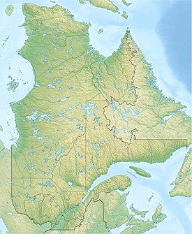
| Sautauriski Mountain | |
|---|---|
 | |
| Highest point | |
| Peak | 727 m (2,385 ft) |
| Geography | |
| Country | Canada |
| Region | Quebec |
| Range coordinates | 47°12′29″N 71°22′55″W / 47.20805°N 71.38194°W |
| Parent range | Laurentian Mountains |
The Sautauriski mountain (old name: "Mont des Loups") culminates at 727 metres (2,385 ft) in the southern part of Jacques-Cartier National Park, in the municipality of Stoneham-et-Tewkesbury, in the regional county municipality (MRC) of La Jacques-Cartier, in the administrative region of Capitale-Nationale, in Quebec, Canada.[1]
