| Seathwaite Fell | |
|---|---|
 Seathwaite Fell from Seathwaite. | |
| Highest point | |
| Elevation | 632 m (2,073 ft) |
| Prominence | 31 m (102 ft) |
| Parent peak | Great End |
| Listing | Hewitt, Nuttall, Wainwright (see below) |
| Coordinates | 54°28′41″N 3°11′31″W / 54.478°N 3.192°W |
| Geography | |
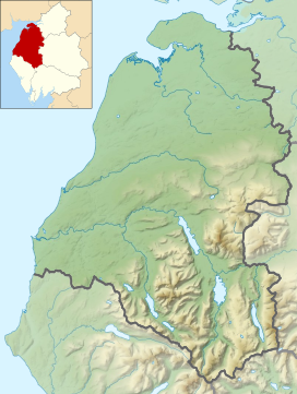
Location in the Lake District National Park | |
| Location | Cumbria, England |
| Parent range | Lake District, Southern Fells |
| OS grid | NY227097 |
| Topo map | OS Landrangers 89, 90, Explorers OL4, OL6 |
| Name | Grid ref | Height | Status |
|---|---|---|---|
| Seathwaite Fell South Top | NY227094 | 631 m (2,070 ft) | Nuttall |
| Seathwaite Fell 'Traditional' Top | NY229102 | 601 m (1,972 ft) | Wainwright |
Seathwaite Fell is an area of the Lake District in Cumbria, England. It stands above the hamlet of the same name at the head of Borrowdale.

