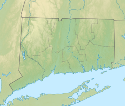
| Selden Neck State Park | |
|---|---|
| Location | Lyme, Connecticut, United States |
| Coordinates | 41°23′46″N 72°24′34″W / 41.39611°N 72.40944°W[1] |
| Area | 607 acres (246 ha) |
| Elevation | 217 ft (66 m)[1] |
| Established | 1917 |
| Administered by | Connecticut Department of Energy and Environmental Protection |
| Designation | Connecticut state park |
| Website | Official website |
Selden Island Site | |
| Part of | Lower Connecticut River Valley Woodland Period Archaeological TR |
| NRHP reference No. | 87001231 |
| Added to NRHP | October 15, 1987 |
Selden Neck State Park is a 607-acre (246 ha) island and public recreation area on the Connecticut River in the town of Lyme, Connecticut. Accessible only by boat, the state park has four areas for primitive, riverside camping.[2][3] Hiking, fishing, and hunting are also available. The park was among the first parcels secured for park purposes by the state, with initial land purchases on the island made in 1917.[4] It is managed by Connecticut Department of Energy and Environmental Protection.
- ^ a b "Selden Neck". Geographic Names Information System. United States Geological Survey, United States Department of the Interior.
- ^ Cite error: The named reference
DEEPwas invoked but never defined (see the help page). - ^ Cite error: The named reference
rivercampwas invoked but never defined (see the help page). - ^ Cite error: The named reference
commissionreportswas invoked but never defined (see the help page).

