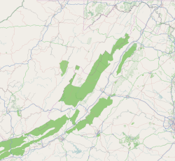
Shawsville, Virginia | |
|---|---|
Census-designated place (CDP) | |
 Shawsville, Virginia | |
| Coordinates: 37°10′24″N 80°14′55″W / 37.17333°N 80.24861°W | |
| Country | United States |
| State | Virginia |
| County | Montgomery |
| Area | |
| • Total | 2.3 sq mi (6.0 km2) |
| • Land | 2.3 sq mi (6.0 km2) |
| • Water | 0.0 sq mi (0.0 km2) |
| Elevation | 1,440 ft (439 m) |
| Population (2010) | |
| • Total | 1,310 |
| • Density | 570/sq mi (220/km2) |
| Time zone | UTC−5 (Eastern (EST)) |
| • Summer (DST) | UTC−4 (EDT) |
| ZIP code | 24162 |
| Area code | 540 |
| FIPS code | 51-71632[1] |
| GNIS feature ID | 1496211[2] |
Shawsville is a census-designated place (CDP) in Montgomery County, Virginia, United States. The population was 1,310 at the 2010 census. It is part of the Blacksburg–Christiansburg Metropolitan Statistical Area which encompasses all of Montgomery County, Virginia, and the city of Radford.
- ^ "U.S. Census website". United States Census Bureau. Retrieved 31 January 2008.
- ^ "US Board on Geographic Names". United States Geological Survey. 25 October 2007. Retrieved 31 January 2008.


