32°25′26″N 117°05′00″W / 32.4238°N 117.0832°W
Sherman Heights, San Diego | |
|---|---|
| Sherman Heights | |
 Villa Montezuma, a historical place located in Sherman Heights | |
 Sherman Heights is located in the central portion of the city of San Diego and part of the Southeastern Planning Area. | |
| Coordinates: 32°25′23″N 117°04′59″W / 32.423°N 117.083°W | |
| Country | |
| State | |
| County | |
| City | |
| ZIP Code | 92102 |
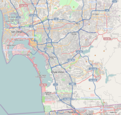
Sherman Heights is an urban neighborhood in central San Diego, California, bordered by Golden Hill to the north, Grant Hill to the east, East Village to the west, and Logan Heights to the south.[1] It is part of the Southeastern Planning Area.[2]
The Sherman Heights neighborhood has the following roadways as boundaries: Martin Luther King Jr. Freeway to the north, 25th Street to the east, Imperial Avenue to the south, and Interstate 5 to the west.
- ^ "Central Neighborhood | Neighborhood Maps". Archived from the original on 2009-11-06. Retrieved 2009-09-14.
- ^ "Community Profiles: Southeastern San Diego". City of San Diego. Retrieved 2020-11-22.
