Shiltah
شلتة | |
|---|---|
Village | |
 Members of the Yiftach Brigade in Shiltah during Operation Danny. 1948 | |
| Etymology: Shilta, from personal name[1] | |
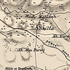
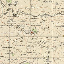
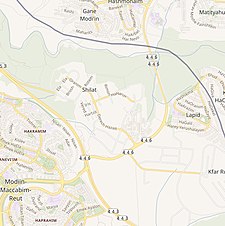
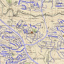
A series of historical maps of the area around Shilta (click the buttons) | |
Location within Mandatory Palestine | |
| Coordinates: 31°55′04″N 35°01′14″E / 31.91778°N 35.02056°E | |
| Palestine grid | 152/147 |
| Geopolitical entity | Mandatory Palestine |
| Subdistrict | Ramle |
| Date of depopulation | July 15–16, 1948[4] |
| Population (1945) | |
• Total | 100[2][3] |
| Cause(s) of depopulation | Military assault by Yishuv forces |
| Current Localities | Shilat[5] Kfar Ruth[5] |
Shilta was a Palestinian Arab village in the Ramle Subdistrict of Mandatory Palestine. Sitting on a hill, It was probably settled in the 19th century.[6] It was depopulated during the 1948 Arab–Israeli War on July 18, 1948, by the First Battalion of the Yiftach Brigade in the Operation Danny. It was located 15 km east of Ramla.
- ^ Palmer, 1881, p. 245
- ^ Government of Palestine, Department of Statistics, 1945, p. 30
- ^ Government of Palestine, Department of Statistics. Village Statistics, April, 1945. Quoted in Hadawi, 1970, p. 68
- ^ Morris, 2004, p. xix, village No. 235. Also gives cause of depopulation.
- ^ a b Khalidi, 1992, p. 415
- ^ Finkelstein, Israel; Lederman, Zvi; Bunimovitz, Shlomo (1997). Finkelstein, Israel; Lederman, Zvi (eds.). Highlands of Many Cultures. Jerusalem: Institute of Archaeology of Tel Aviv University Publications Section. p. 135. ISBN 965-440-007-3.


