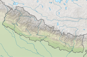
| Shivapuri Nagarjun National Park | |
|---|---|
 View of Shivapuri Nagarjun National Park from Sundarijal | |
| Location | Nepal |
| Nearest city | Kathmandu |
| Coordinates | 27°47′42″N 85°23′24″E / 27.79500°N 85.39000°E |
| Area | 159 km2 (61 sq mi) |
| Established | 2002 |
| Governing body | Department of National Parks and Wildlife Conservation (Nepal) |
 | |
Shivapuri Nagarjun National Park is the ninth national park in Nepal and was established in 2002. It is located in the country's mid-hills on the northern fringe of the Kathmandu Valley and named after Shivapuri Peak at 2,732 m (8,963 ft) altitude. It covers an area of 159 km2 (61 sq mi) in the districts of Kathmandu, Nuwakot and Sindhupalchowk, adjoining 23 Village Development Committees.[1] In the west, the protected area extends to the Dhading District.[2]
- ^ Bhuju, U. R.; Shakya, P. R.; Basnet, T. B.; Shrestha, S. (2007). Nepal Biodiversity Resource Book. Protected Areas, Ramsar Sites, and World Heritage Sites (PDF). Kathmandu: International Centre for Integrated Mountain Development, Ministry of Environment, Science and Technology, in cooperation with United Nations Environment Programme, Regional Office for Asia and the Pacific. ISBN 978-92-9115-033-5.
- ^ Cite error: The named reference
Pandey2010was invoked but never defined (see the help page).
