This article has multiple issues. Please help improve it or discuss these issues on the talk page. (Learn how and when to remove these messages)
|
| Sims | |
|---|---|
 | |
| Location | |
| Country | Germany |
| State | Bavaria |
| Physical characteristics | |
| Source | |
| • location | Simssee |
| • elevation | 470 m (1,540 ft) |
| Mouth | |
• location | into Rohrdorfer Achen near Rosenheim |
• elevation | 443 m (1,453 ft) |
| Length | 6 km (3.7 mi) |
| Basin size | 97 km2 (37 sq mi) |
| Basin features | |
| Progression | Rohrdorfer Achen→ Inn→ Danube→ Black Sea |
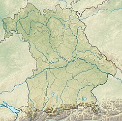
The Sims is a river of Bavaria, Germany, near the country's southern border. A right tributary of the Inn, the Sims is approximately eight kilometers long, and is fed by the Simssee, a small lake.[1] It flows into the Rohrdorfer Achen, close to its confluence with the Inn, near Rosenheim in the municipality of St. Stephen's churches. Initially, it runs along the edge of the municipal area from Stephanskirchen to that of Riedering.
- ^ "BayernAtlas". bayernatlas.de (in German). Retrieved 2024-02-14.
