Sint Michiel
Boca Samí | |
|---|---|
 Kunuku House (slave house) in Sint Michiel | |
| Coordinates: 12°08′32″N 068°59′45″W / 12.14222°N 68.99583°W | |
| Country | Netherlands |
| Constituent Country | Curaçao |
| Area | |
| • Total | 17.94 km2 (6.93 sq mi) |
| Population (2011)[2] | |
| • Total | 5,732 |
| • Density | 320/km2 (830/sq mi) |
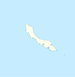
Sint Michiel (also Boca Samí) is a former fishing village in Willemstad lying at the south end of Bullenbaai bay on the west coast of Curaçao. It is located 10 kilometres (6.2 miles) to the northwest of the island's city centre.
- ^ Buurtprofiel Sint Michiel 2011, p. 14.
- ^ "Census 2011". Central Bureau of Statistics. Retrieved 17 April 2021.
