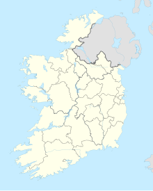
Sligo Airport Aerfort Shligigh | |||||||||||
|---|---|---|---|---|---|---|---|---|---|---|---|
 Sligo Airport | |||||||||||
| Summary | |||||||||||
| Airport type | Public | ||||||||||
| Operator | Sligo Northwest Airport Co Ltd | ||||||||||
| Serves | Sligo, Ireland | ||||||||||
| Location | Strandhill, County Sligo | ||||||||||
| Elevation AMSL | 3 m / 11 ft | ||||||||||
| Coordinates | 54°16′49″N 008°35′57″W / 54.28028°N 8.59917°W | ||||||||||
| Website | www | ||||||||||
| Map | |||||||||||
 | |||||||||||
| Runways | |||||||||||
| |||||||||||
Sligo Airport (IATA: SXL, ICAO: EISG) is located in Strandhill, County Sligo, 5 NM (9.3 km; 5.8 mi)[1] west of Sligo, at the end of the R277 road, in Ireland. The airport is a small regional airport and has had no scheduled routes since 2011. It is the home of the Sligo Aero Club (a Registered Training Facility) and the northwest base for the Irish Coastguard. Private flight training, skydiving and charity jumps are all operated from the airport. In 2002 a Euroceltic Airways Fokker F27 aircraft carrying the band Aslan overshot the runway and the nose dipped into the sea. The accident caused no casualties.
- ^ a b EISG – SLIGO (PDF). AIP and charts from the Irish Aviation Authority.
