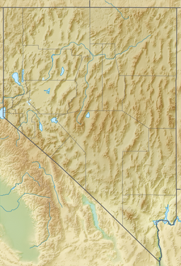
| Soda Lakes | |
|---|---|
 east rim of Big Soda Lake | |
| Location | Churchill County, Nevada, US |
| Coordinates | 39°31′48″N 118°52′12″W / 39.53000°N 118.87000°W[1] |
| Type | meromictic, volcanic crater lake |
| Primary inflows | aquifer |
| Primary outflows | evaporation |
| Max. depth | 207 ft (63 m)[2] |
| Surface elevation | 4,104 ft (1,251 m)[1] |
| References | [1][2] |
The Soda Lakes are two lakes located northwest of Fallon, Nevada. They occupy two basaltic maar volcano craters which may have erupted in the last 1,500 years. The larger lake, called Soda Lake or Big Soda Lake,[3] is somewhat elongated, stretching 2 kilometers (1.2 mi) in length. The smaller one, Little Soda Lake,[4] is 200 meters (660 ft) across. Considered to be a single volcano, the combined craters are young enough that future activity cannot be ruled out.[5] A geothermal power plant is located on the northeast flank of the volcano.[6]
A significant increase in level of Big Soda Lake occurred in the early 20th century due to increased groundwater table. It became a meromictic lake where the deeper water no longer mixes with surface waters.[2] New tufa formations have served as a rare research example of tufa's rate of growth within a century.[7]
- ^ a b c "Soda Lakes". Global Volcanism Program. Smithsonian Institution. Retrieved 2018-09-11.
- ^ a b c Rush, F Eugene (1972). "Hydrologic reconnaissance of Big and Little Soda Lakes, Churchill County, Nevada" (PDF). Nevada Division of Water Resources. USGS. Retrieved 2019-06-30.
- ^ "Soda Lake". Geographic Names Information System. United States Geological Survey, United States Department of the Interior.
- ^ "Little Soda Lake". Geographic Names Information System. United States Geological Survey, United States Department of the Interior.
- ^ "Soda Lakes". USGS California Volcano Observatory. Retrieved 2019-06-30.
- ^ Benoit, Dick (2016). "Soda Lake Geothermal Field Case History 1972 to 2016" (PDF). GRC Transactions. Vol. 40. Geothermal Resources Council. pp. 523–534. Retrieved 2019-06-22.
- ^ Rosen, Michael R; Arehart, Greg B; Lico, Michael S (2004-05-01). "Exceptionally fast growth rate of <100-yr-old tufa, Big Soda Lake, Nevada: Implications for using tufa as a paleoclimate proxy". GeoScienceWorld. 32 (5): 409–412. doi:10.1130/G20386.1.
