| Sommen | |
|---|---|
 Sommen seen from a hill in Torpön in summer | |
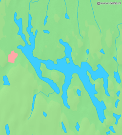
 Map, the city of Tranås is marked in red | |
| Location | southern Sweden |
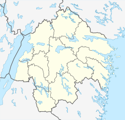
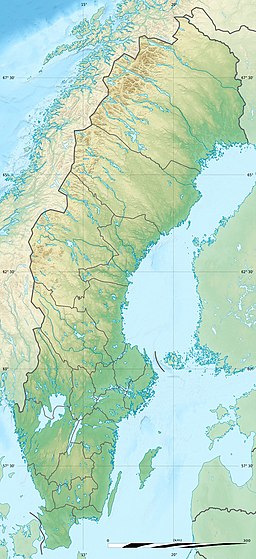
| Coordinates | 58°01′12″N 15°11′06″E / 58.02000°N 15.18500°E |
| Primary outflows | 11 m3/s (390 cu ft/s)[1] |
| Basin countries | Sweden |
| Surface area | 132 km2 (51 sq mi)[1] |
| Average depth | 17 m (56 ft)[1] |
| Max. depth | 53 m (174 ft)[1] |
| Water volume | 2,210,530,000 m3 (7.8064×10¹⁰ cu ft) |
| Surface elevation | 147 m (482 ft) |
| Islands | c. 260–300[2] |
| Settlements | Blåvik, Malexander, Sommen, Norra Vi, Torpa |
Sommen (Swedish pronunciation: [ˈsʊ̂mːɛn])[3] is a lake in the South Swedish highlands lying across the border of the provinces of Östergötland and Småland.[4] Situated about 147 metres above mean sea level, the lake has an area of 132 km2 (51 sq mi) and has a maximum depth of 60 metres.[1] The lake is shared between the administrative kommunes of Ydre, Kinda, Boxholm and Tranås and the area around it is sparsely populated.[1]
The lake has very clear water, with a visibility of 8 to 10 metres deep, if conditions are good.[1] This makes Sommen one of the greatest clear-water lakes in Sweden. According to tradition Sommen has 365 islands, one for each day of the year.[2] The actual number is around 260.[2]
In and around the lake various rare species are protected in a series of nature reserves,[5] bird sanctuaries[1] and areas closed for fishing. Måltorpet Granbo in Sommen is a Natura 2000 area.[1]
The visitor centre and natural history museum, Naturum Sommen, lies at the northern end of Torpön island, near the central part of the lake.
According to the Svensk ortnamnslexikon the lake name was given as Sooma in 1447 and is derived from the local dialect word somma meaning an oversized vessel.[6] This may be in relation to the lake's size or the cliffs along its shores.[6] Scholar Robert Norrby considered that the name Sommen originated as a noa-name - an unknown sacred or taboo name that the lake had.[7]
- ^ a b c d e f g h i Cite error: The named reference
vattenorgwas invoked but never defined (see the help page). - ^ a b c "Fakta om sjön". sommen.nu (in Swedish). Retrieved May 10, 2019.
- ^ Jöran Sahlgren; Gösta Bergman (1979). Svenska ortnamn med uttalsuppgifter (in Swedish). p. 22.
- ^ "Sommen – Skandinavische Idylle am Seeufer". Ferienhäuser Schweden. Fereinhäuser Schweden.
- ^ Cite error: The named reference
TorponsNR2005was invoked but never defined (see the help page). - ^ a b Wahlberg, Mats (2003). Svensk ortnamnslexikon (PDF) (in Swedish). Uppsala: Språk- och folkminnesinstitutet. p. 288. ISBN 91-7229-020-X. Retrieved April 30, 2019.
- ^ Filén, Thure (1960). "Ydres namn och ålder; om dess sigill och vapen". Ydreboken (in Swedish). pp. 29–35.

