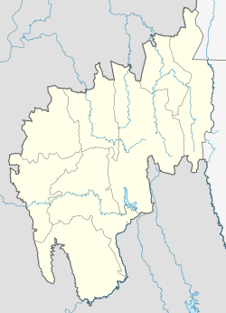
Sonamura Subdivision | |
|---|---|
Subdivision | |
| Coordinates: 23°28′48″N 91°16′12″E / 23.480°N 91.270°E | |
| Country | |
| Region | North-Eastern |
| State | Tripura |
| District | Sipahijala district |
| Area | |
| • Total | 479.53 km2 (185.15 sq mi) |
| Elevation | 11 m (36 ft) |
| Population (2015) | |
| • Total | 271,302 |
| • Density | 566/km2 (1,470/sq mi) |
| Languages | |
| • Official | Bengali, Kokborok, English[1] |
| • Max. Spoken Language | Bengali, Tripuri, Hindi |
| Time zone | UTC+5:30 (IST) |
| PIN | 799115, 799131-132 |
| Vehicle registration | TR 07 XX YYYY |
| Website | tripura |
Sonamura is a subdivision in Sipahijala district in the Indian state of Tripura. Sonamura is the headquarter. The subdivision contains one municipal council, one Nagar Panchayat, four RD blocks and 67 Gram Panchayats. Major towns include Melaghar, Kathalia and Sonamura.
- ^ "Report of the Commissioner for linguistic minorities: 52nd report (July 2014 to June 2015)" (PDF). Commissioner for Linguistic Minorities, Ministry of Minority Affairs, Government of India. pp. 79–84. Archived from the original (PDF) on 15 November 2016. Retrieved 16 February 2016.

