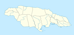
| South Negril River | |
|---|---|
 | |
| Location | |
| Country | Jamaica |
| Physical characteristics | |
| Source | |
| • coordinates | 18°16′40″N 78°15′22″W / 18.2778°N 78.2560°W |
| • elevation | About 250 feet (76 m)[2] |
| Mouth | |
• coordinates | 18°16′48″N 78°20′52″W / 18.2800°N 78.3479°W |
• elevation | Sea level[2] |
| Length | 15 kilometres (9.3 mi)[1] |

The South Negril River is a river in Westmoreland, Jamaica.
